
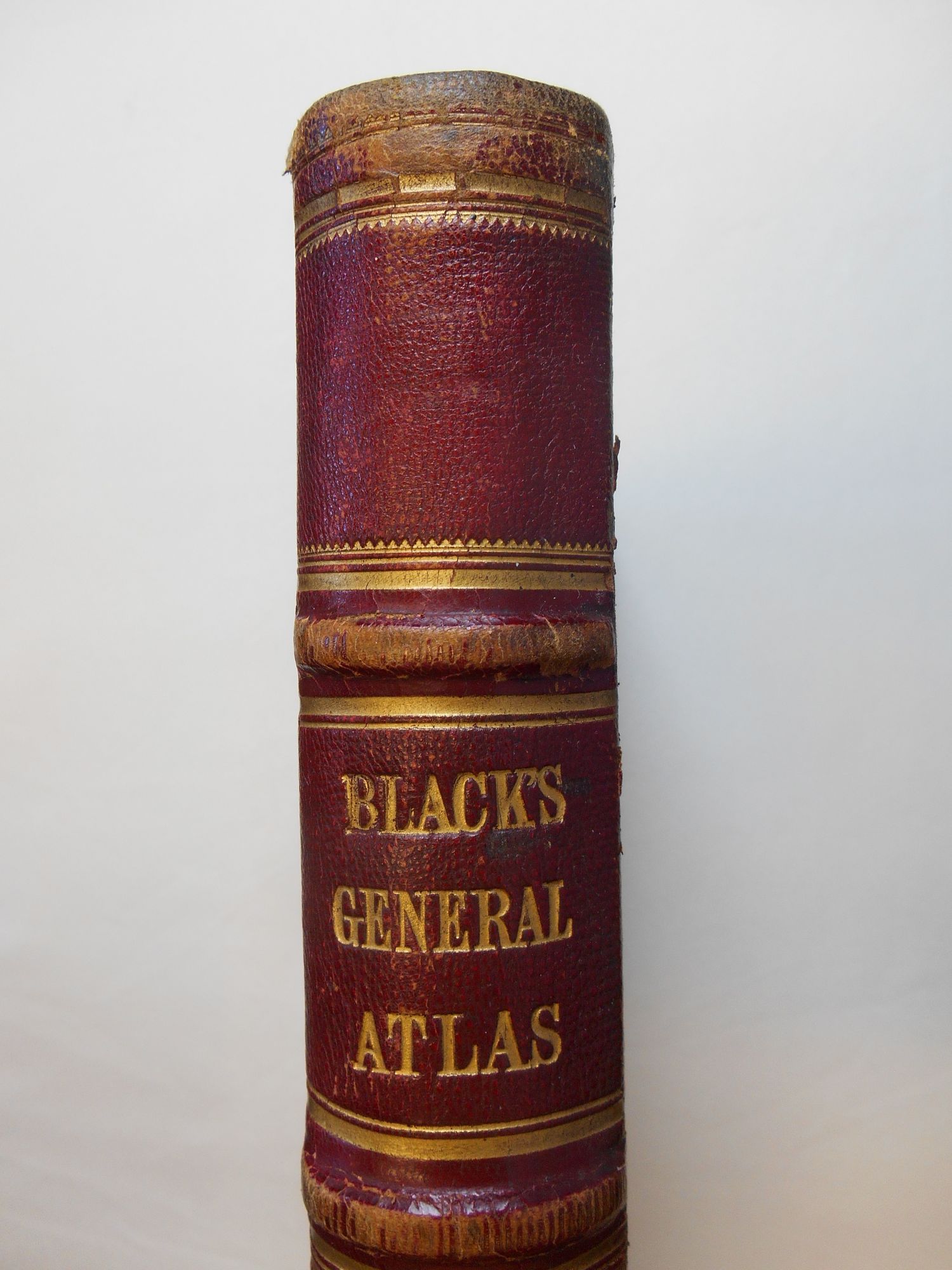
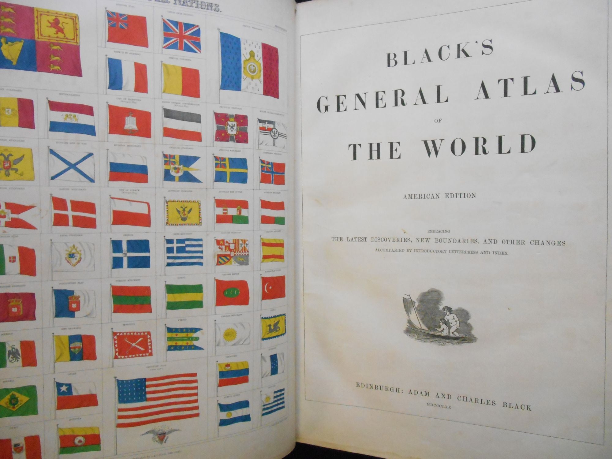
Black's General Atlas of the World, American Edition, Embracing the Latest Discoveries, New Boundaries, and Other Changes
Edinburgh: Adam and Charles Black, 1870. Hardcover. Elephant folio size, 102 pp. Good. Item #CNGC04
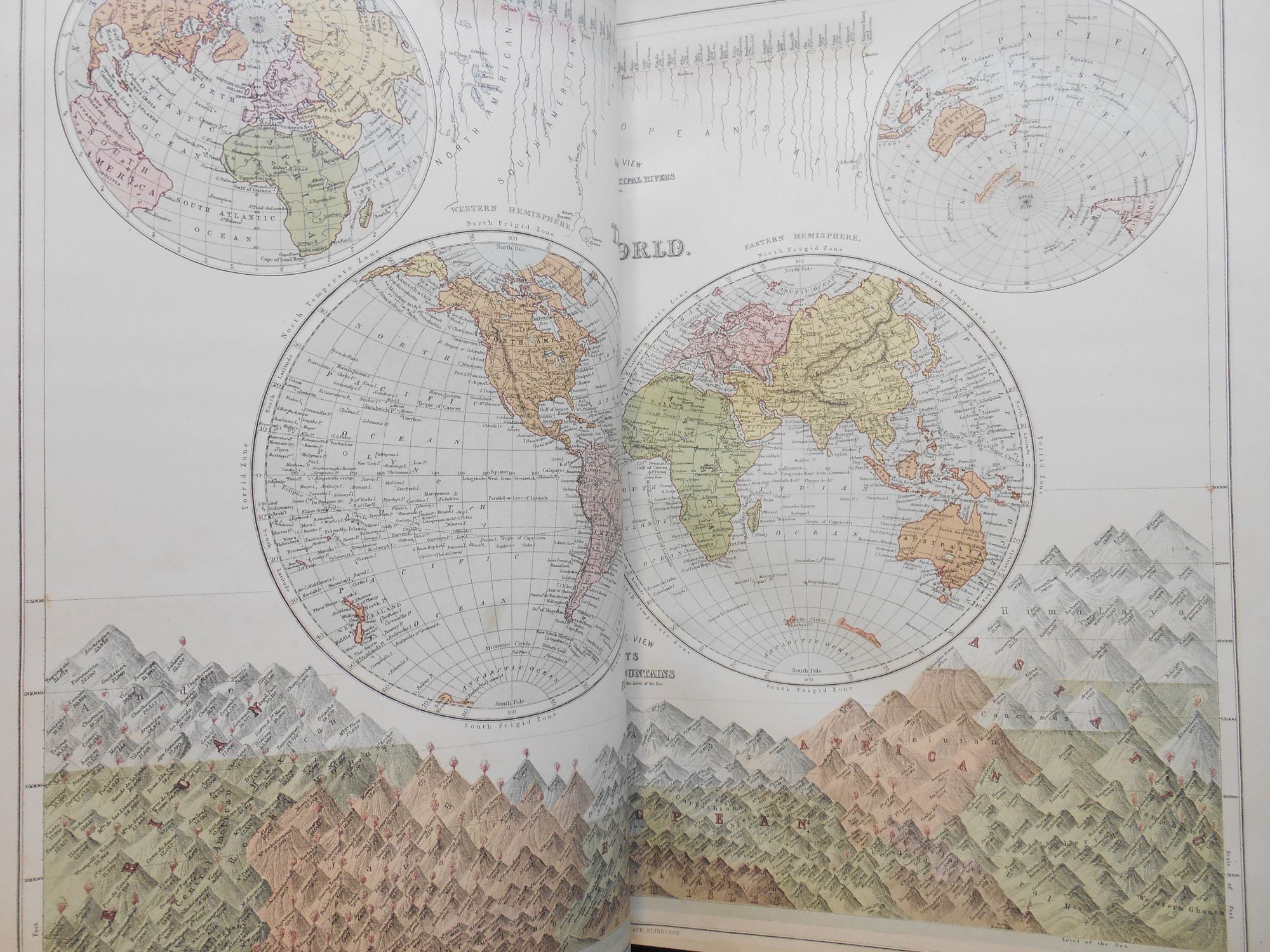
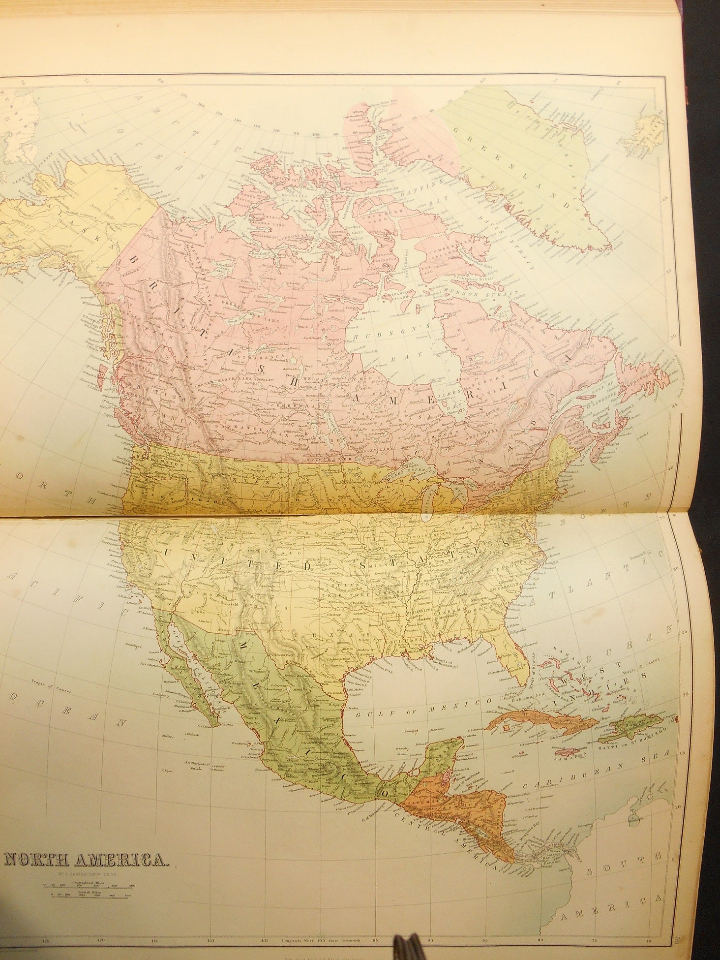
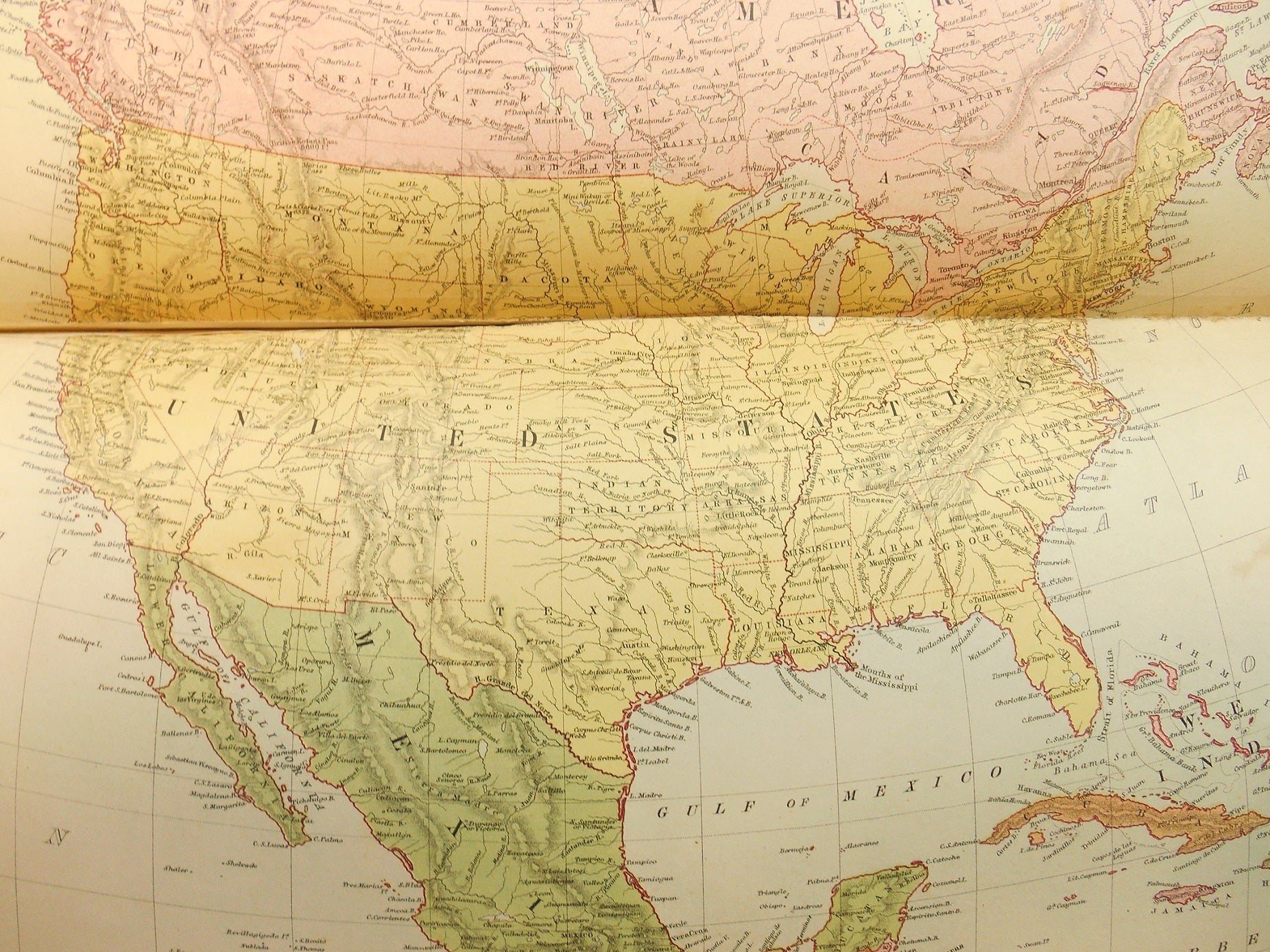
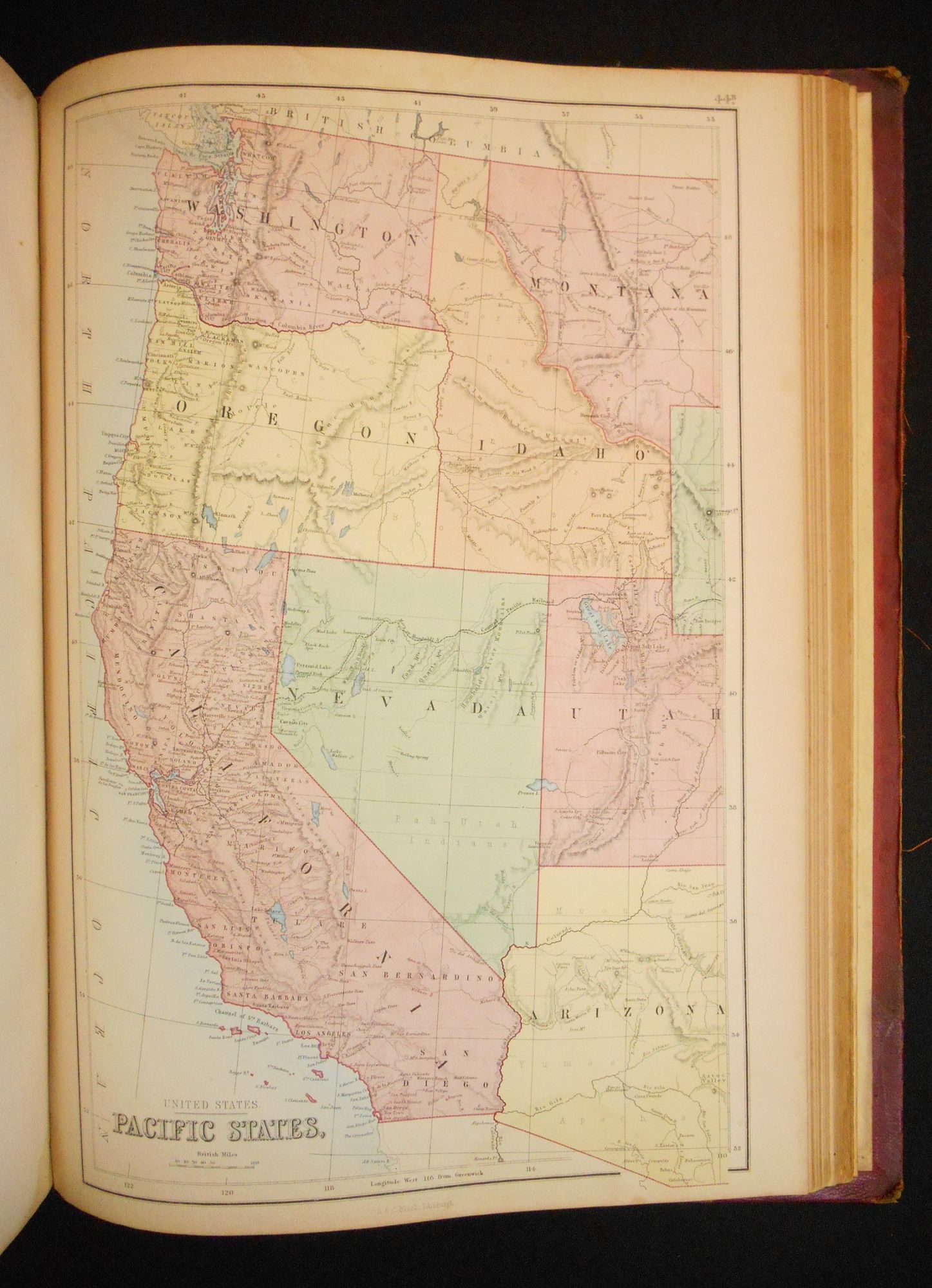
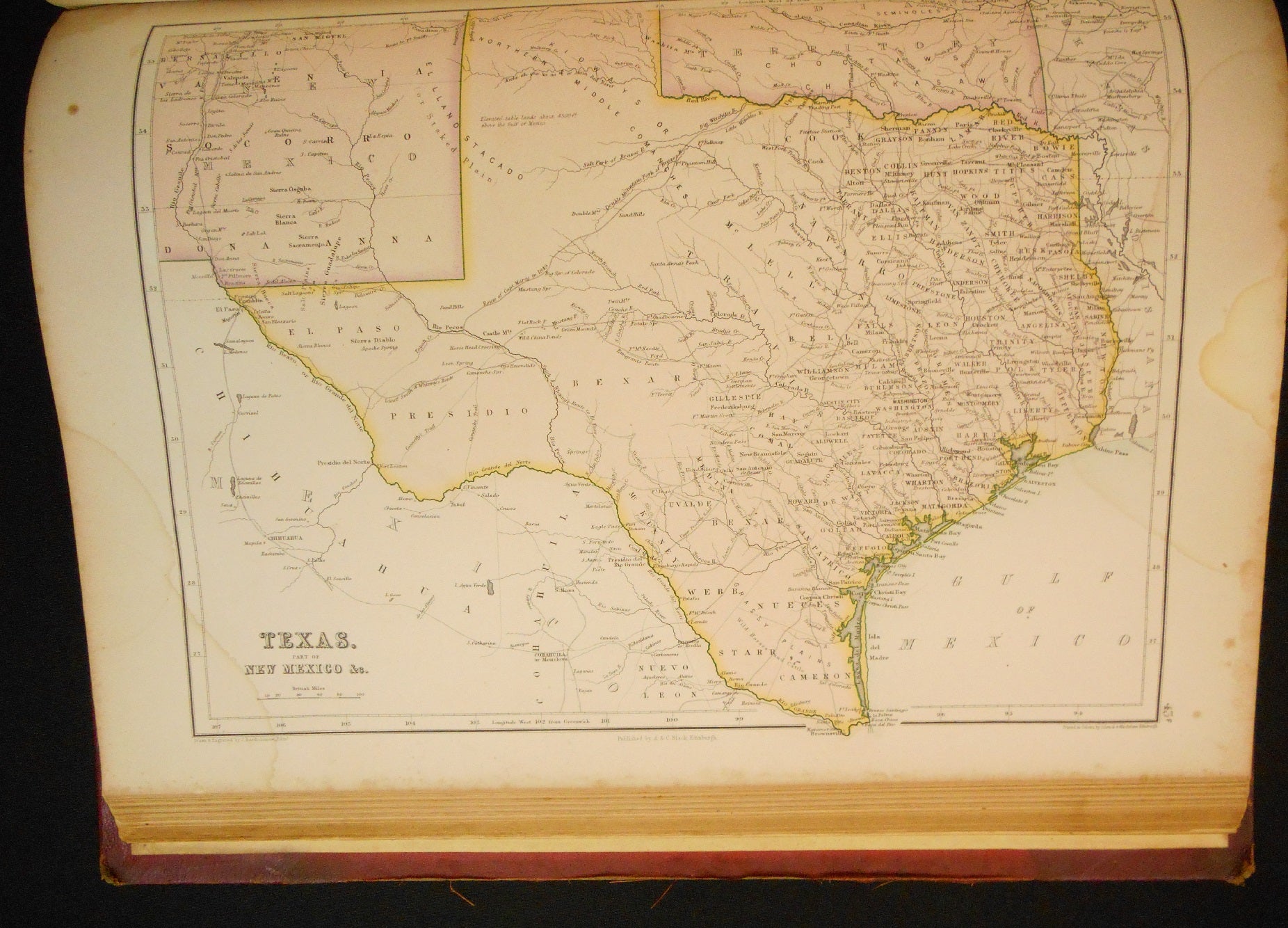
Large (elephant folio) atlas published in 1870, the year after the completion of the transcontinental railroad. With over 60 maps mostly of the countries of the world, but also with some others such as one of the ancient world and one of the Solar System, Seasons and Mariner's Compass; there is a concentration on maps of the USA (approximately half of the volume).
The year this atlas was published there were still distinct maps for: Prussia and the North German Confederation; the South German States; Denmark, Sleswick, and Holstein; Turkey in Europe, Persia, Afghanistan, and Beloochistan, among other entities and political lines which have shifted over time.
The publishing firm of Adam and Charles Black was founded ca. 1808 by Adam Black, a bookseller by trade (Charles was his nephew, whom he took into the company) - the firm eventually published several editions of the Encyclopedia Britannica and Sir Walter Scott's Waverly novels.
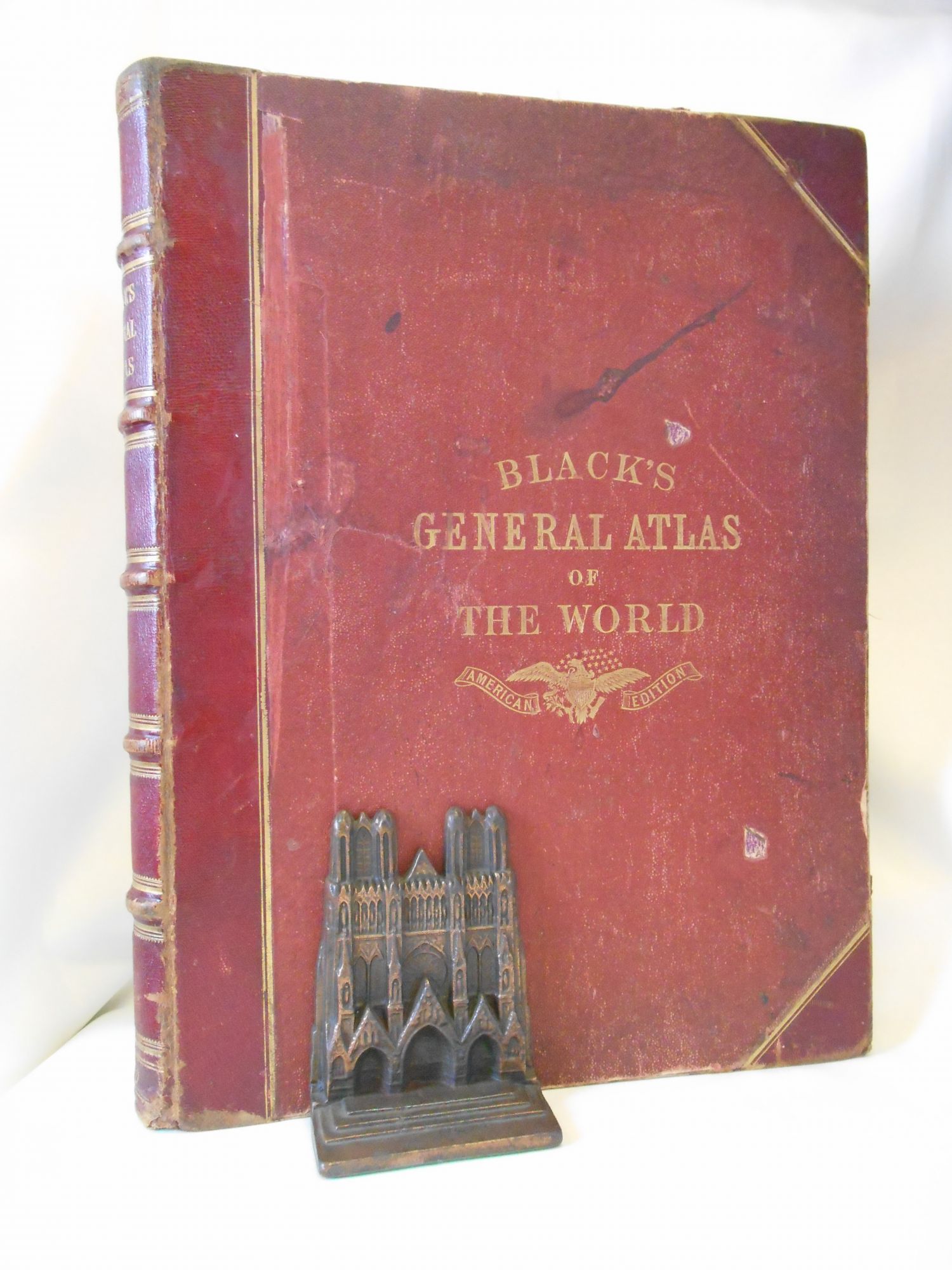
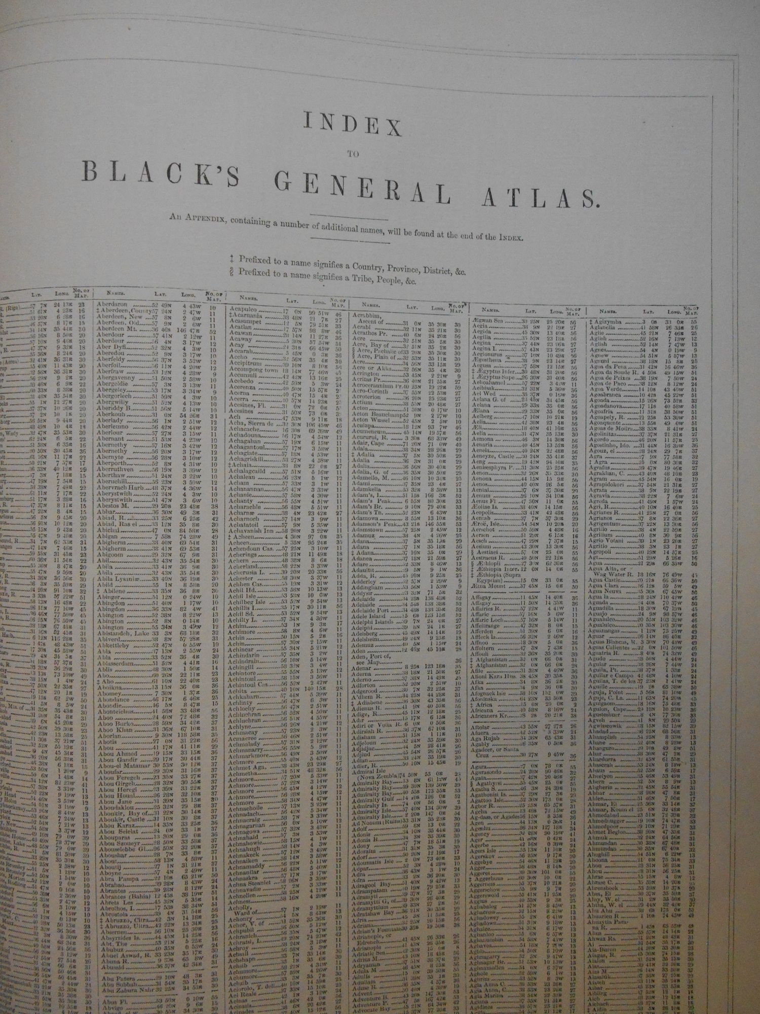
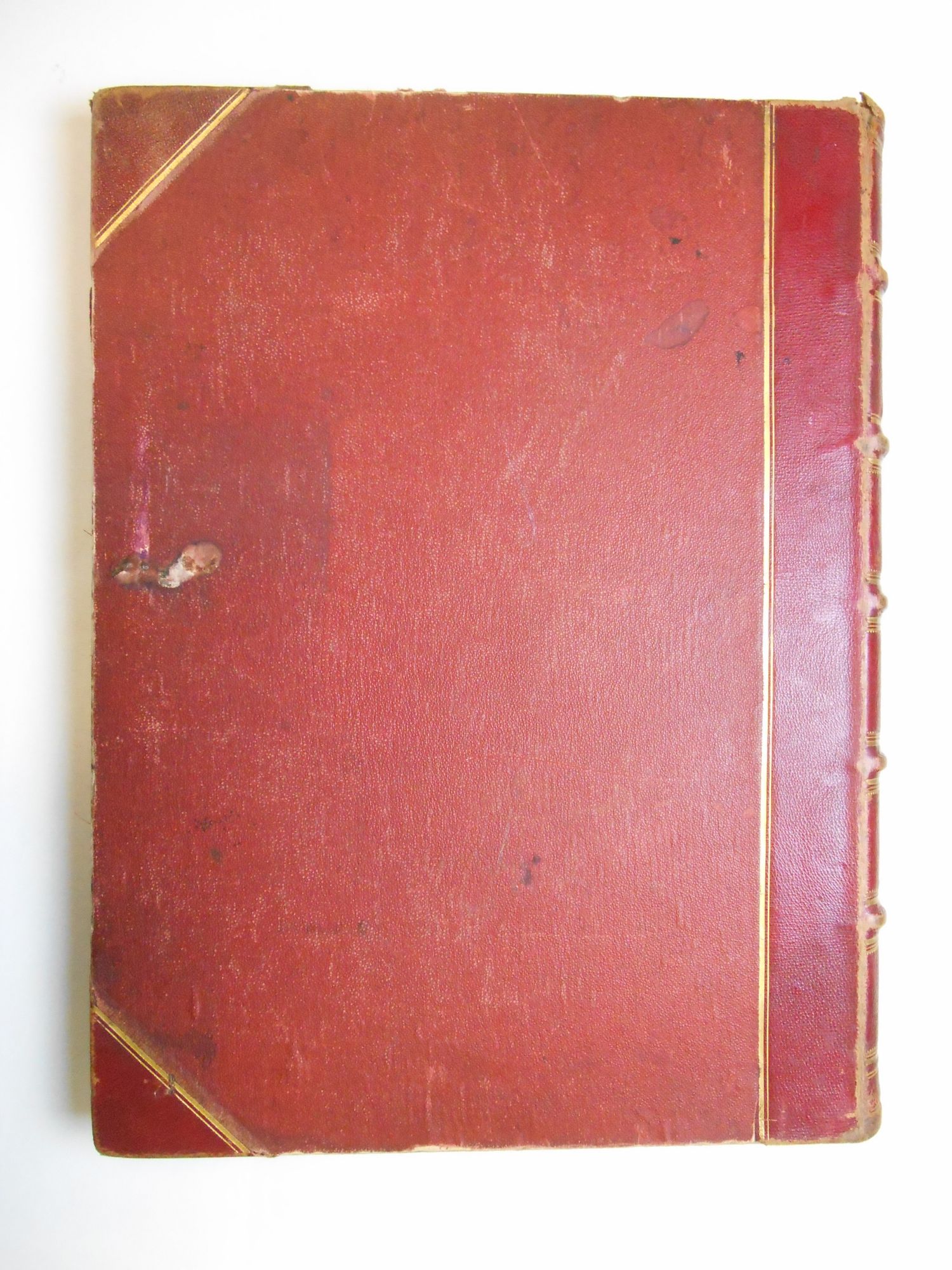
___DESCRIPTION: Half-red leather over red pebbled cloth boards, gilt lettering and American Eagle device in gilt on the front, gilt lettering and rules on the spine, all edges gilt, light yellow endpapers, a 32-page Introduction done in letterpress, each map was tipped onto a linen stub (so that double-page maps may be viewed in their entirety), the volume closes with a 70-page Index; all maps are present; elephant folio in size (approximately 17.5" tall).
___CONDITION: Overall good, some professional work was done to reattach the text block to the original binding; the text block is now strong and sturdy, as are the hinges. The binding is well rubbed and somewhat soiled, with the boards showing through the bottom edges, the joints are worn but not cracked, there is scattered, minor old dampstaining, and fore-edge of Map 56 is well worn at the edges (the page had detached; it is re-attached but the edgewear shows, with some closed tears extending into the bottom fore-edge corner of the map); several maps had short tears in the margins which were also repaired. Generally better than most atlases of this age and size.
___POSTAGE: Please note that due to the large size and weight of this book additional postage will need to apply; we are happy to ship to both domestic and international addresses at cost, please contact us for details.
___Swan's Fine Books is pleased to be a member of the ABAA, ILAB and IOBA and we stand behind every book we sell. Please contact us with any questions you may have, we are here to help.
Price: $600.00